Home
Explore
Notifs
Profile

Black-owned · Built for the global diaspora · Curated pins from Black and melanated creators across hair, style, beauty, home, and art.

Formerly Melaninterest.com

Get the Melanin app

Download on theApp StoreGet it onGoogle Play
m
melanin
AboutHelpTermsPrivacyCommunity GuidelinesCreators

© 2026 Melanin. All rights reserved.

Melaninmelanin
HomeExploreCreatorsNewsCreate
Ctrl+K
Log inSign up
Melaninmelanin
HomeExploreCreatorsNewsCreate
Ctrl+K
Log inSign up
Tucson Hit by Unprecedented "Silent Storm" Amid Monsoon Fury — Melanin News | Melanin
Melaninmelanin
HomeExploreCreatorsNewsCreate
Ctrl+K
Log inSign up
All news
Tucson Hit by Unprecedented "Silent Storm" Amid Monsoon FuryDrama

Tucson Hit by Unprecedented "Silent Storm" Amid Monsoon Fury

4w ago

Southern Arizona was rocked by a powerful and unusual monsoon storm system on Wednesday, August 5, 2026. Originating from Sonora, the system triggered a tornado warning for southwestern Cochise County and put a large swath of southeastern Arizona, including Tucson, under a flash flood watch.

The National Weather Service in Tucson reported radar-indicated rotation over Sierra Vista around 7:35 p.m. MST, prompting the tornado alert. The storm packed quarter-sized hail, nearly an inch in diameter, and posed a significant threat of flying debris. Throughout the evening, the region braced for impact, with a Flash Flood Watch in effect for Pima, parts of Pinal, Santa Cruz, Graham, and Cochise Counties from 4 p.m. to 11 p.m. MST. Forecasts warned of strong outflow winds between 40-60 mph, isolated blowing dust, and potential flash flooding from scattered thunderstorms.
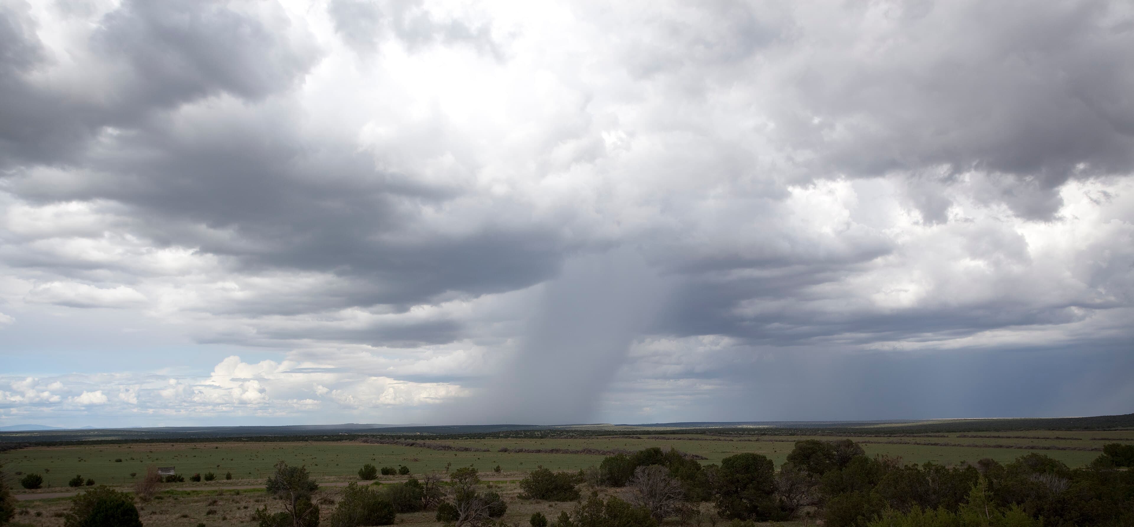
North American monsoon
North American monsoon Source

Multiple Flash Flood Warnings were subsequently issued by the National Weather Service. Santa Cruz County was under a warning from 7:08 p.m. to 9:30 p.m. MST. Cochise County faced a more severe threat, with a warning from 8:00 p.m. to 11:00 p.m. MST, indicating potential danger to life and property. Graham County saw a warning from 8:30 p.m. to 10:00 p.m. MST, followed by Pima and Santa Cruz counties from 9:13 p.m. to 10:45 p.m. MST. A Severe Thunderstorm Warning was also active for south central Pima County, moving west near Arivaca, and later for areas including Three Points, where the storm, located west of Green Valley, threatened hail damage to vehicles and wind damage to structures.

For many in the Tucson metropolitan area, the night was defined by a peculiar phenomenon dubbed a "silent storm." Residents from the northeast side of Tucson down to Green Valley observed a mesmerizing display of slow, intense lightning. This light show pulsed for about 15 minutes, moving from southeast to northwest, yet it was accompanied by almost no audible thunder. Many described it as an unprecedented experience in their years living in the desert. The explanation for this "silent lightning" lies in physics: thunder rarely travels more than 10 to 15 miles, meaning distant storm cells igniting near the mountains to the south and east illuminated the sky without their accompanying rumble reaching observers.

While Tucson experienced the visual spectacle, the most significant damage was concentrated south and east of the city. Green Valley residents reported strong winds and hail, with one account noting 1.8 inches of rain. Neighbors described Vail as having taken a direct hit, while Rita Ranch residents felt their windows rattle from heavy hail. Northeast of Willcox, major wind damage was reported. Sierra Vista remained under its tornado warning as radar showed rotation traversing the San Pedro Valley. KVOA meteorologist Matt Brode indicated that the wettest areas recorded rainfall totals between 1 and 3 inches, forming the basis for the widespread flash flood watches due to anticipated runoff.

Weather Underground (weather service)
Weather Underground (weather service) Source

This intense weather event was part of the highly anticipated 2026 monsoon season, which had drawn particular interest due to a "Super El Niño" condition. This phenomenon, marked by rapidly warming waters in the eastern Pacific Ocean, was expected to bring a strong summer monsoon season, especially later in August and September. Mark O'Malley, a meteorologist with the National Weather Service, had noted the presence of "a lot of warm water out there," which he considered a positive indicator for generating much-needed moisture in the drought-affected region.

Prior to this August 5 storm, the 2026 monsoon season had already seen activity. July brought lightning strikes and heavy rain to Tucson, and June saw reports of downed trees and power lines in the southern part of the city. The National Weather Service, in collaboration with agencies like the Arizona Department of Water Resources, had even announced Monsoon Awareness Week 2026, emphasizing the critical importance of understanding the destructive potential of the region's powerful summer storms. The NWS had also projected a 33-50% chance of above-normal precipitation for nearly all of Arizona for July, August, and September 2026, with the highest chances in Northeastern Arizona.

Following the August 5 storm, forecasters expected a ridge of high pressure to rebuild across the region. This pattern was anticipated to cause temperatures to rise, though without reaching extreme heat, while lingering moisture would maintain daily storm chances in the forecast for the days ahead.